This past weekend’s personal fitness and recreation retreat is not unlike one I undertook in Patagonia. During that time, the phrase “treeline residency” kept bouncing around my head; this round it was “cowboy shit.” The theme is a couple nights of solo camping on the edge of wilderness and short, high-intensity, low-baggage adventures during the day. I squeezed in this adventure between my last day as a Hydrologist with the United States Geological Survey (Thursday, March 31) and my first day as a Hydrologist with a private consulting firm (Monday, April 4).
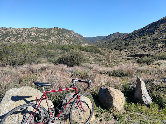
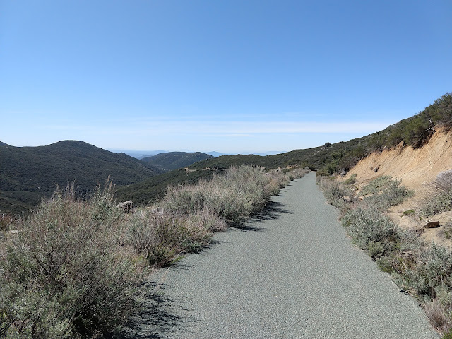
Kitchen Creek Road is a paved trail that climbs ~2500 ft over a distance of 11 miles through a dry, north-south-trending canyon that hangs off the southern end of Mt Laguna Recreation Area. The route begins in the desert near Interstate 8 (32.735168, -116.453763), winds along Kitchen Creek through a narrow shrub canyon, and then climbs steeply up and out of the valley onto a ridge that juts off of the Cuyumaca Mountains (32.847339, -116.447787). Motor vehicles are prevented from accessing the road by a gate – in other words, it is the perfect road bike route! It takes me about two hours to climb 2500 ft / 11 miles and then cruise down. A perfect morning – about 60 degrees, clear sky, little wind. Incredible!
Around noon, I drive over to Pine Creek Road and snag “the Birds Nest” (32.893049, -116.491465), my favorite dispersed campsite in the area. It’s not the most exciting spot during the day – very sunny and exposed – but it is ideal for sunset, sleeping, and sunrise. I eat an avocado and then ride my bike ~3 miles on Pine Creek Road and Sunrise Highway to the Garnet Peak Trailhead (32.911566, -116.461200). This approach is a solution to a conundrum that I have often encountered in first-come-first-serve camping situations: my tendency to stay out on the trail late into the evening limits my campsite options. This time, I snag my favorite spot with my truck and then use my bike to get around (hehe).
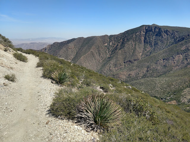
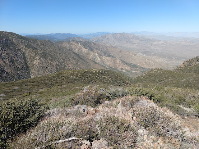
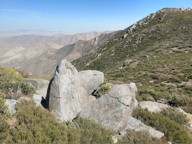
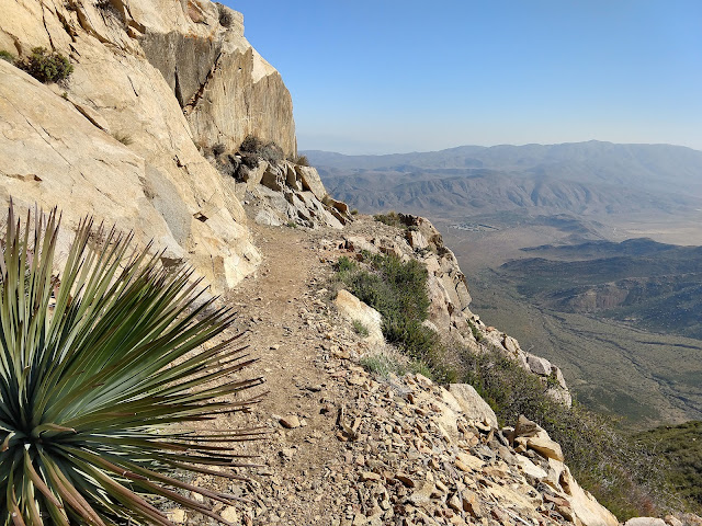
Garnet Peak is the perfect trail – it’s very short and leads right up to the top/edge of the Cuyumaca Mountains, from which one can gaze out into the abyss of the Colorado Desert. Seriously though, the view is impressive and terrifying, Mordor vibes. The route connects with the Pacific Crest Trail (PCT), on which one could continue north or south. I run up to the summit and enjoy a good long sit. I give Southern California a lot of crap, but its shrub mountains can’t be beat! It’s super cool to see the trail you are currently following switchback its way high up onto a peak; that doesn’t happen in forested places! I continue on the PCT for a while, until the path winds back toward the highway and I turn around and pedal back to my campsite. There, I explore the area for a while before making my way back to the truck, cooking rice noodles with broccoli, and crawling into bed to watch the sunset.
Friday had been an intense day – something like 30 miles cycling and at least 5 miles on foot. Saturday I plan to walk, rather than run, on the PCT for most of the day. In the morning, I bike to the Pioneer Mail Trailhead and hike about five miles north on the PCT; this stretch of trail is absolutely incredible and I have to stop every few steps to take it all in. Eventually the trail begins descending into shrub canyons and I turn around. I bike south on Sunrise Highway to the Storm Canyon Vista Trailhead, hike on the PCT to the top of Monument Peak (not all that great), and then make my way back to the campsite by about 3pm.
For the rest of the day, I had planned on revisiting a canyon Raffelina and I camped in over a year before. I ride my bike down Pine Creek Road to what I remember as the entrance of the canyon (32.894183, -116.505171). It turns out that the canyon I remembered actually begins farther down Pine Creek Road (32.867396, -116.516329). I follow what turns out to be Deer Park Road for a very long time, and then continue onto Indian Potrero Road (32.925665, -116.510020), which I can tell is generally starting to wind back (both vertically and laterally) to the direction of my campsite. As you may know, making a loop is the unstated goal of every one of my out-and-back adventures, and this round is no exception. The desire to make a loop pushes me farther and higher along Indian Potrero road, until I get to what seems like the top (32.922524, -116.493841). After many attempts to orient myself, I finally surrender and make the toughest of adventure decisions – to turn around. As I am watching the sunset from the truck and drifting away to sleep, I notice the fog filling the valley below, making islands out of the highest shrub peaks…
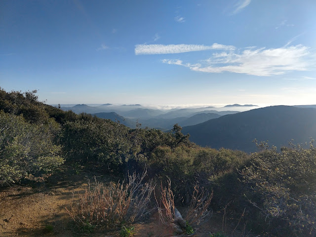
When I wake up, I’m all souped in! The fog has come in so thick that my blankets are damp. Even as the sun comes up and threatens to burn off the moisture, the clouds swirl in thicker. If you have spent any time outside with me, you know that being enclosed in fog is my ultimate outdoor experience. I climb out of bed and quickly make a cup of coffee, before jumping back into bed to watch the rest of the fog show. Sadly my phone is out of battery at this point, so there are few fog photos. I guess this experience is just for me.
After packing up, I descend Pine Creek Road past the turn for Deer Park Road and find the oak and manzanita canyon where Raffelina and I had camped over a year earlier. Past our campsite (32.874528, -116.517796), the road continues to climb the canyon, which is rimmed by misty clouds hovering around the ridgelines overhead. I walk until the road stops (32.889552, -116.529133), turn around, head back to my truck, and drive to Chipotle.
These shrub landscapes are at once warm, exotic, prickly, indifferent, cold, and hostile. As I mentioned above, it's super cool to see where you've come from and where you're going. On trails in the Rocky Mountains, for example, one typically has to hike/bike/run 5+ miles through thick forest before breaking out above treeline and getting a view of the landscape. I used to get this giddy feeling in Colorado when I got above treeline - partly due to the lack of oxygen, but mostly because of the views. Playing in shrub mountains is like being above treeline all the time! It's also nice to recreate in March/April without having to deal with snow and cold. Sure, it gets chilly at night and it sometimes snows in the winter, but it's nothing compared to worrying about hypothermia or whether the trail you are following will eventually be blocked by deep snow drifts. While I certainly long for a wetter climate, these shrub landscapes are really growing on me, and I definitely hope to explore more of California's coastal mountains. As sad as it is to have to drive an hour out of the city to find air safe for huffing and puffing, I feel pretty lucky that we have the Cuyamacas so close to San Diego.
